Hurricane Helene Flooding

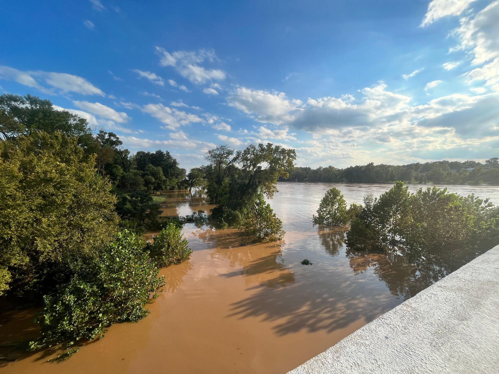
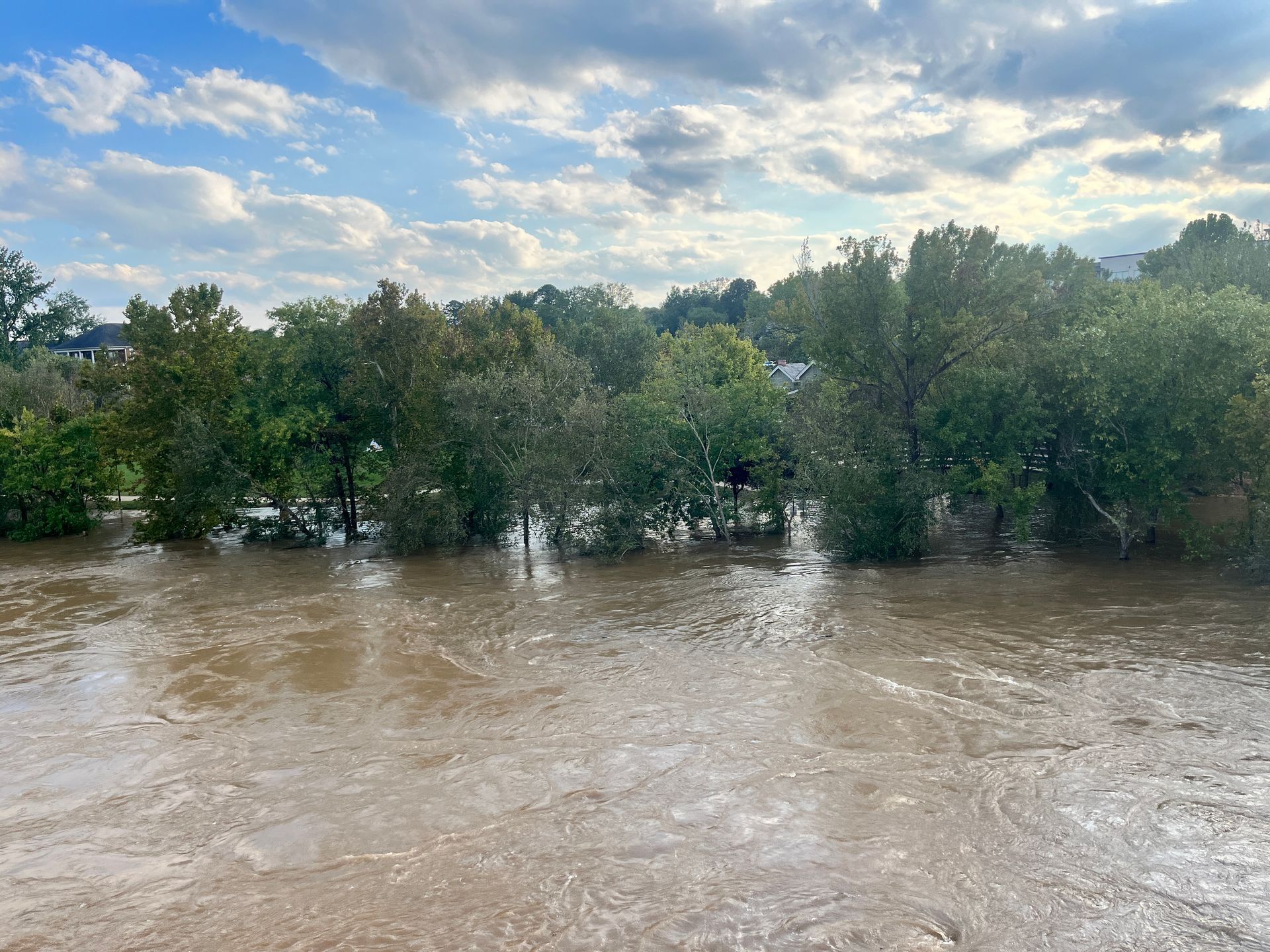
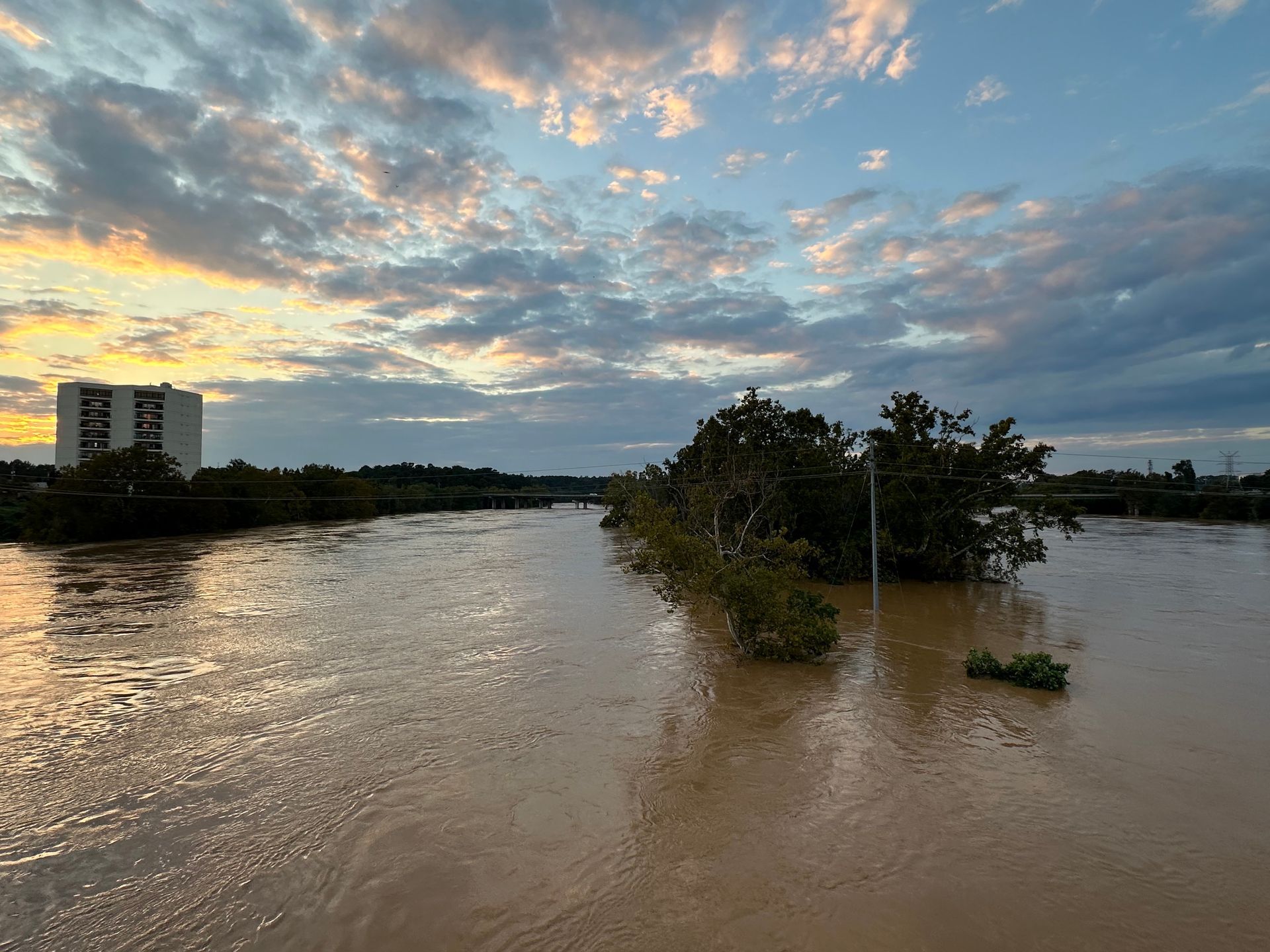
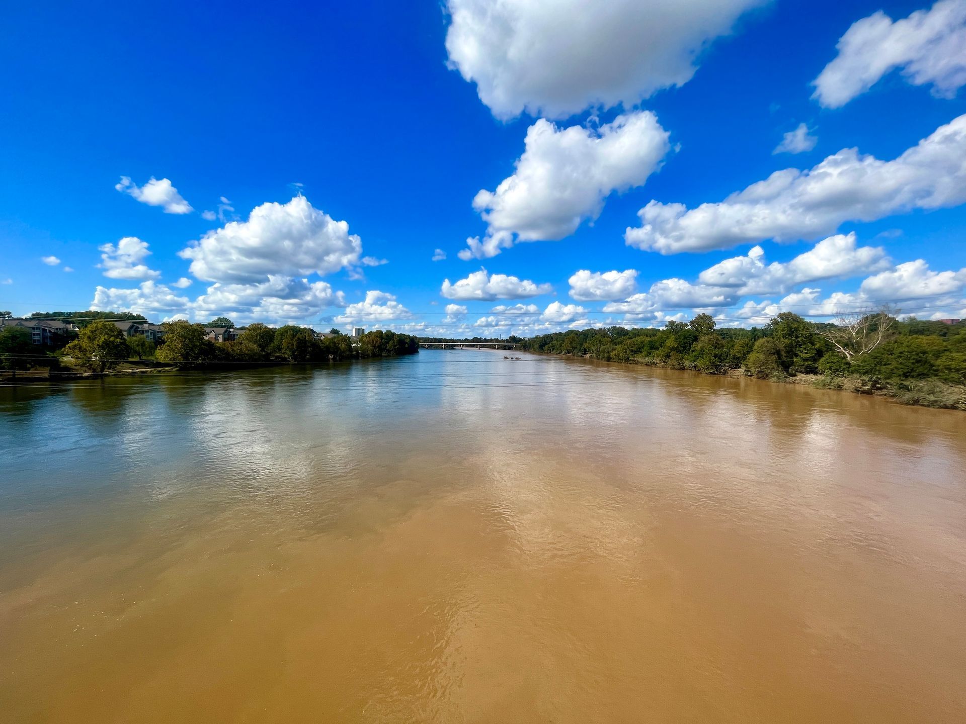
The Congaree River near its crest on the morning of Sept. 30th from the Gervais Street bridge.
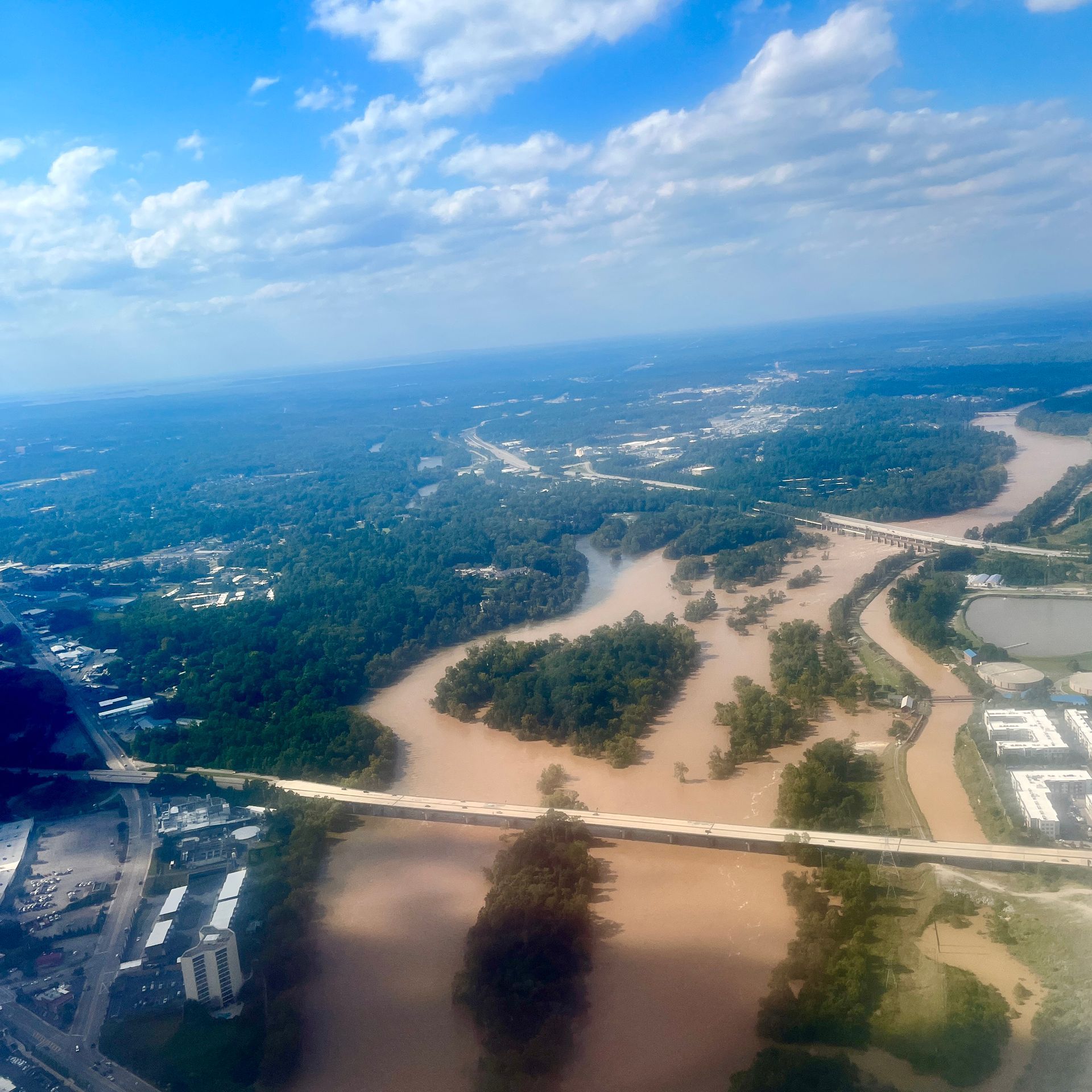
On September 26th Helene made landfall on Florida's gulf coast as a category 4 hurricane before moving northward and impacting several southeastern states. The storm brought rainfall and high winds to the Midlands, and significantly more rainfall to the top of our watershed in the Upstate and western North Carolina. All that water eventually worked its way down the Broad and Saluda Rivers to the Congaree.
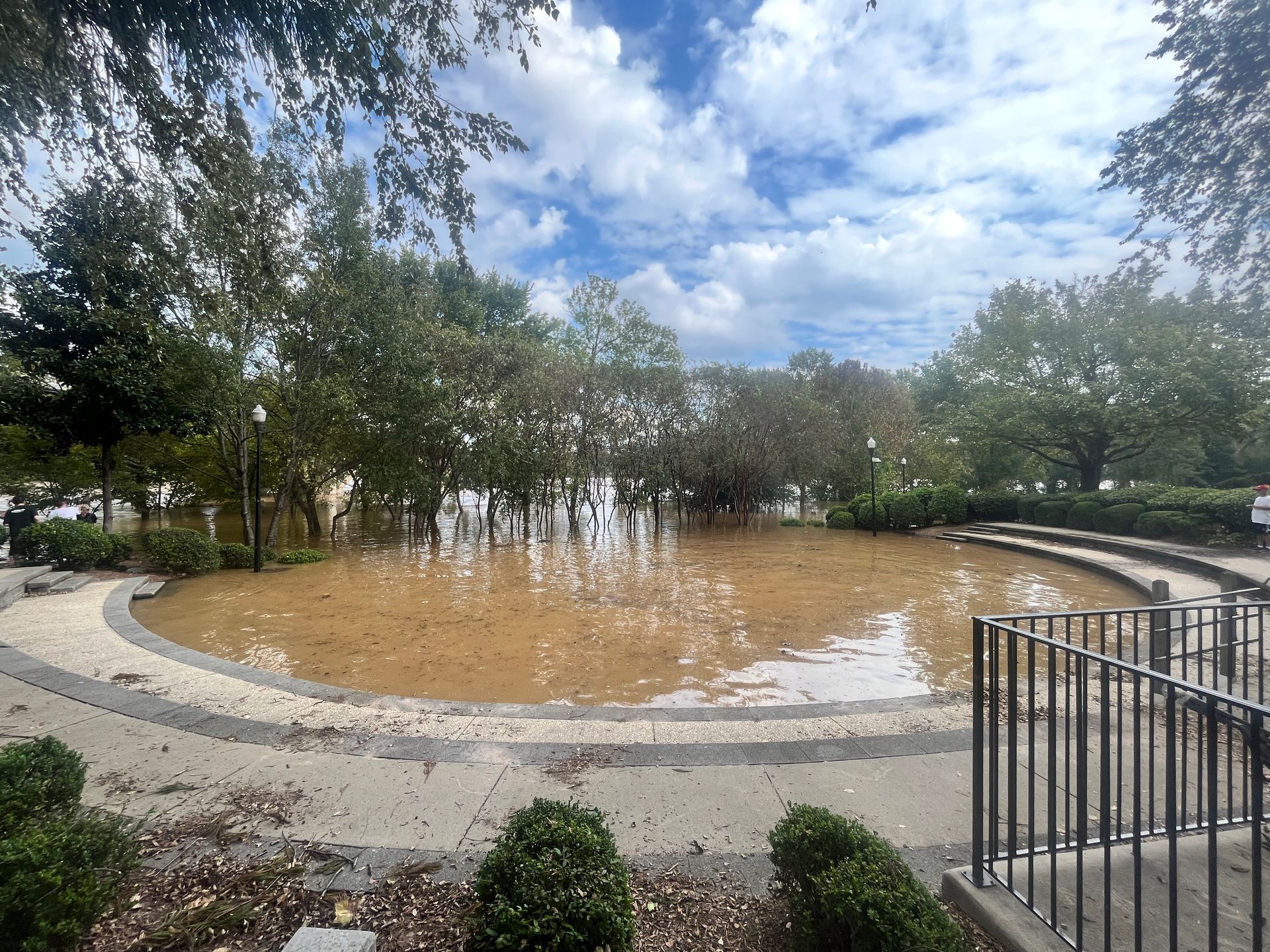
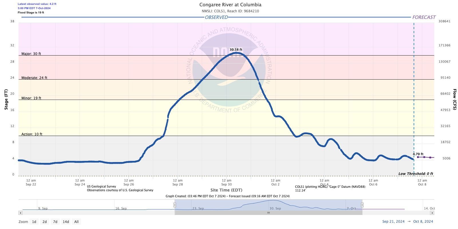
The Congaree River at Columbia crested at 30.58 feet on the morning of Monday, September 30th. This was major flood stage and will be a top 10 historic flood crest for the river. For reference, the Congaree River crested at 31.8 ft during the 2015 floods. You can see the current river level and forecast here.
The Broad River at Alston crested overnight Sunday/Monday at a historic high of 29.48 ft.
While inflow into Lake Murray was very high (up to 55,000 cfs) the Lower Saluda maintained flows in the red flow range (~17,000 cfs) for several days. A spillway gate was partially opened to compensate for a generating unit that was down for maintenance. You can find updates on the Saluda Hydro operations here.
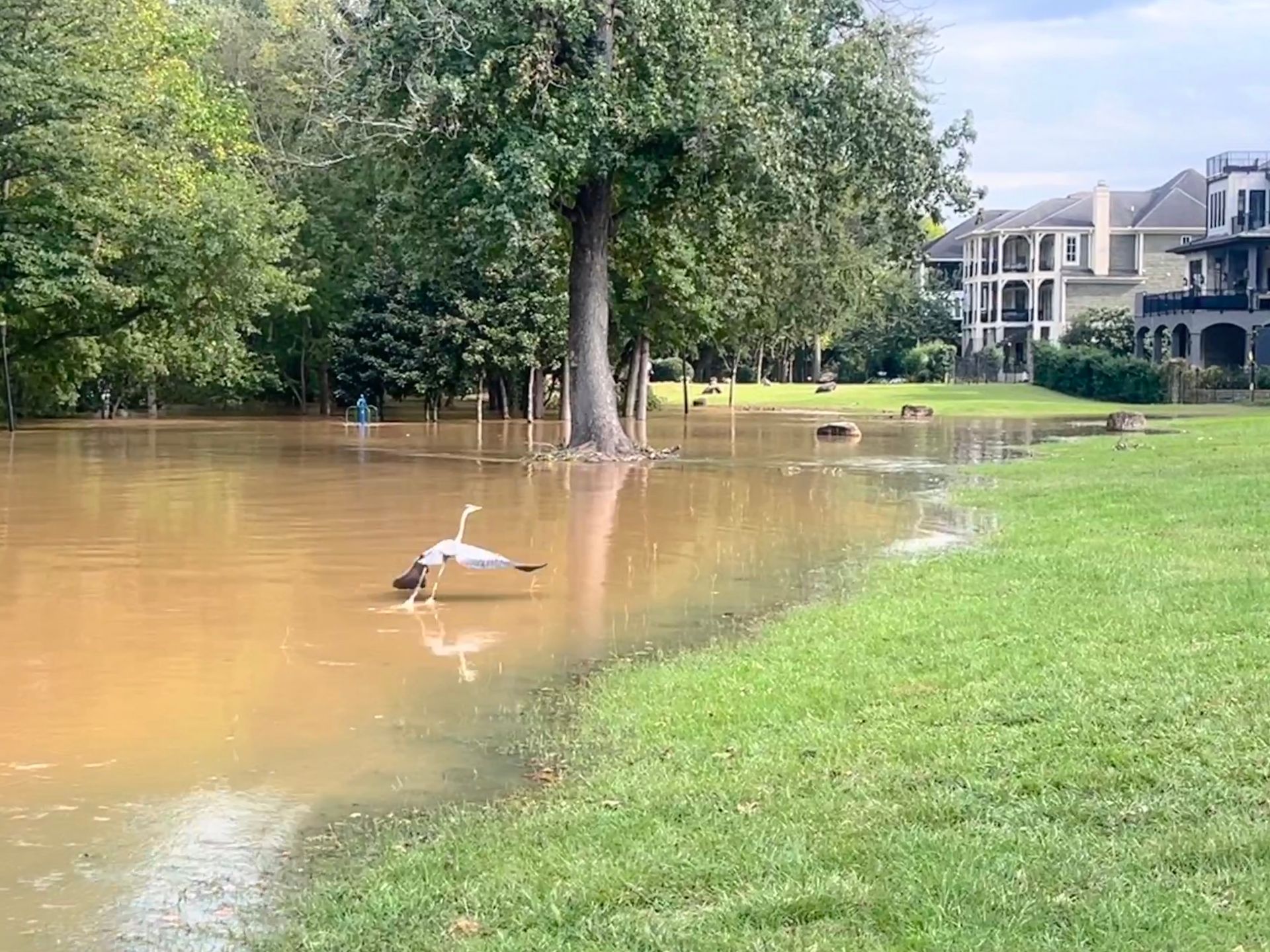
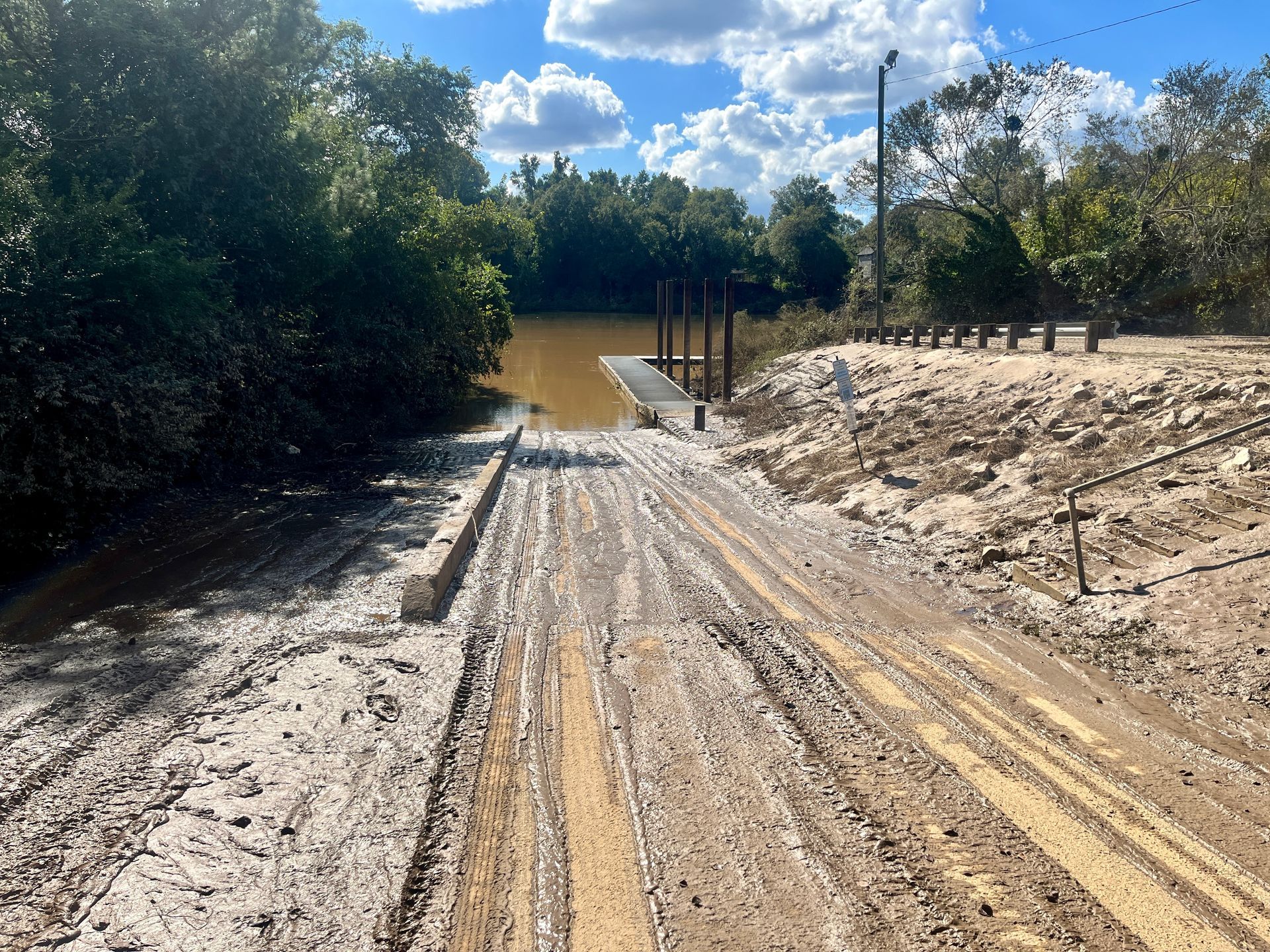
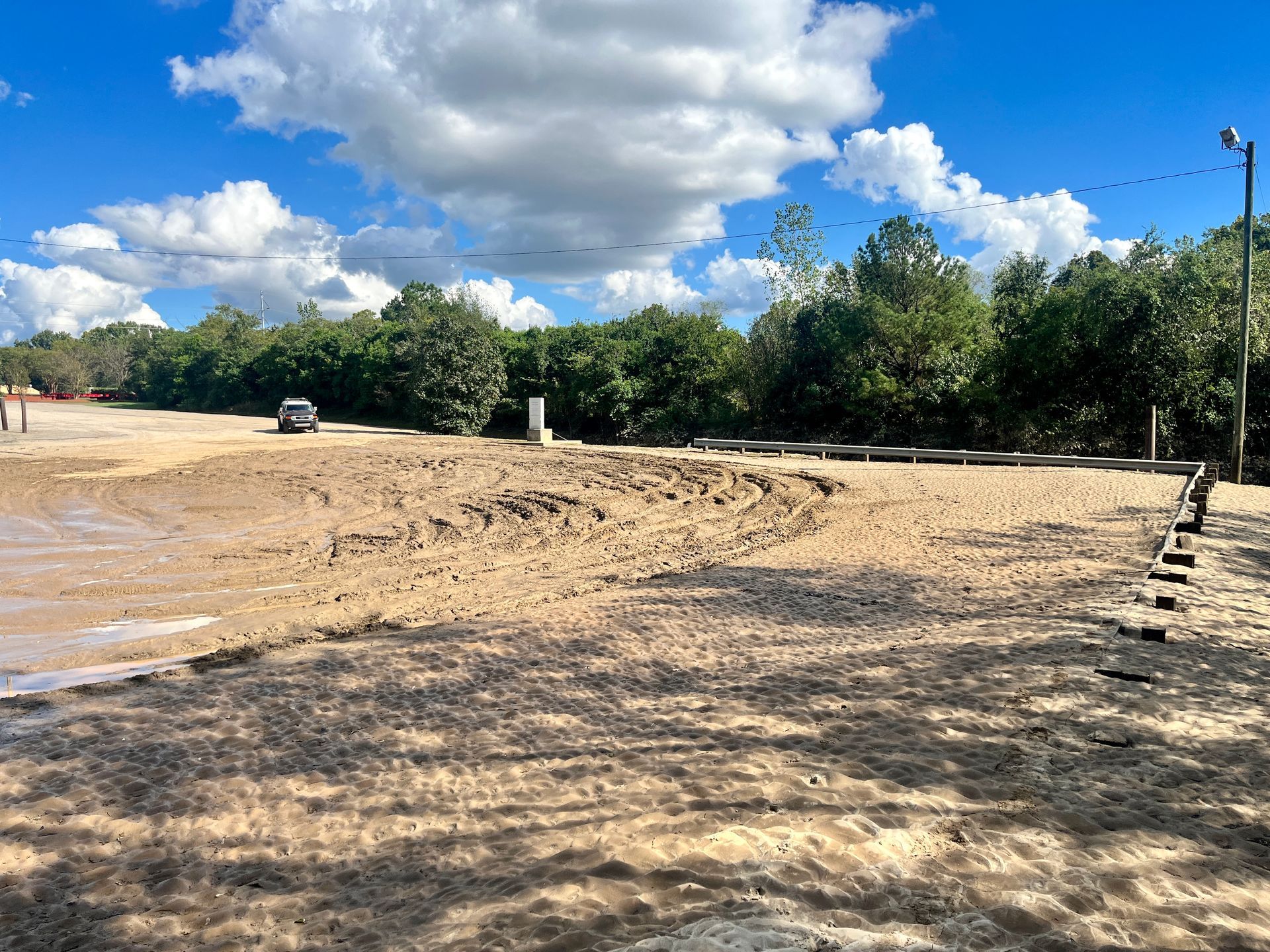
Flooding did occur in neighborhoods directly along the Broad and Congaree Rivers, including the Riverland Park neighborhood in the City of Cayce where about a dozen homes were flooded.
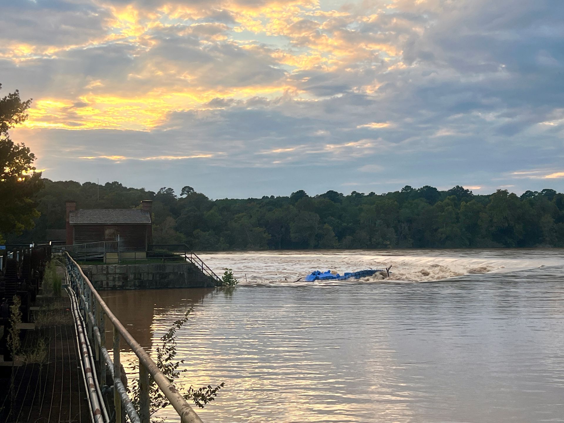
The Columbia Canal, which was significantly damaged in the 2015 floods, held up fine, and despite several internet rumors, there were no serious issues with any of the local drinking water plants.
The City of Columbia wastewater treatment plant on the Congaree River did experience some flooding that impacted operations, but staff remained on site working to provide partial treatment to incoming wastewater. There were numerous sewer overflows during the initial rainfall and in the days following that impacted multiple waterbodies across the Midlands.
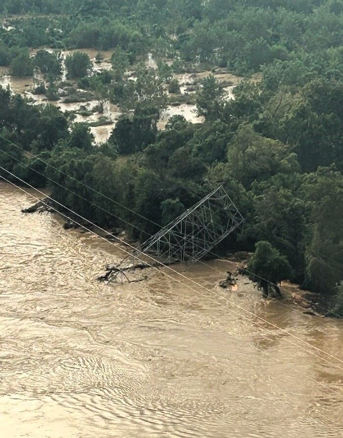
On Tuesday, October 1st Santee Cooper confirmed that one of their power transmission towers south of I-77 near the mouth of Congaree Creek had collapsed into the Congaree River. The removal and replacement of the tower us expected to take several weeks and boaters should use extreme caution and avoid the area if possible.
